
Home | Canal System | Historical Documents | 175th Anniversary | Images | Maps | Tour | Traces | Locks | Boats | Books and Videos | Music | Links

The Long Level was the section of the Erie Canal between Utica and Syracuse. This section was constructed first because there were relatively few obstructions, and the land was sufficiently level that no locks were needed. Since it could be dug relatively quickly, the resulting canal could be put into use as soon as it was dug, thus proving the usefulness of "Clinton's Ditch" and silencing its critics. In October 1819, the 98-mile section from Utica to the Seneca River was completed, and the first boat traveled from Rome to Utica.
Today, a major section of The Long Level still exists between DeWitt and Rome, although it fades out here and there.
Below are a few pictures taken along the The Long Level, most in October 2005. Click on an image below to see the full-size version.
 |
 |
|
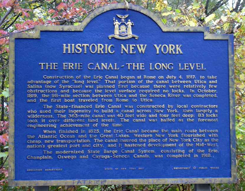
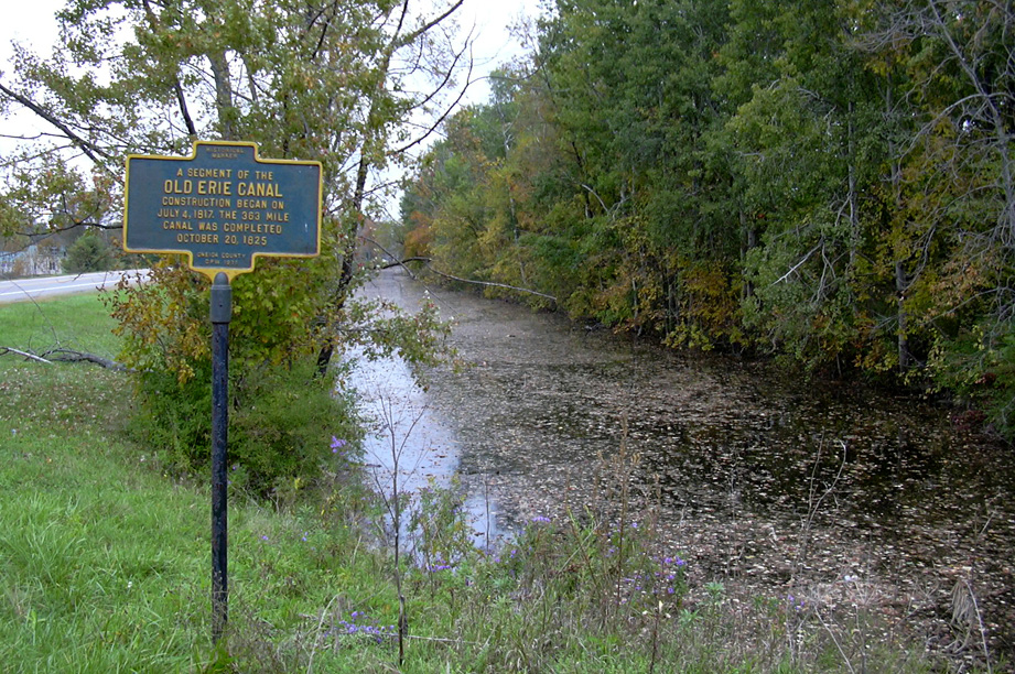
| Historical Marker at the Mills Road and NY Route 46 parking area. | Widewaters on the Enlarged Erie Canal towpath, near the Limestone Creek Aqueduct in the Old Erie Canal State Historic Park near Fayetteville (taken in Sept. 2007). | |
 |
 |
 |
| The Enlarged Erie Canal at North Court St.,
east of Canastota near the Thruway -- Left: looking west ; Right: looking east. |
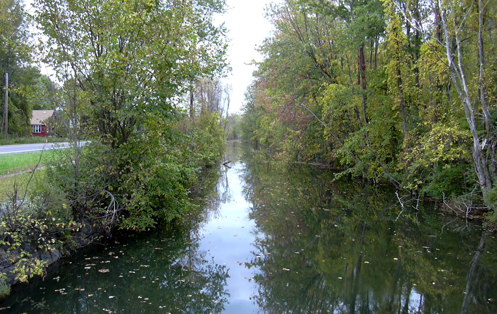
The Enlarged Erie Canal at the Rt. 316 crossing at Durhamville, looking west. Behind the camera, a short distance to the east is the Oneida Creek Aqueduct. | |
 |
 |
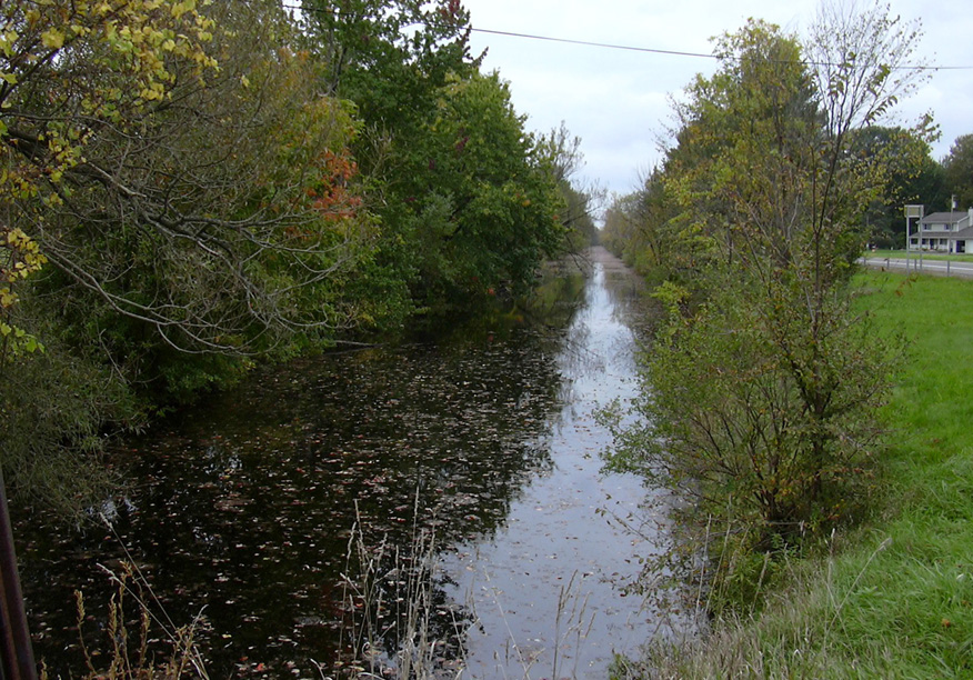 |
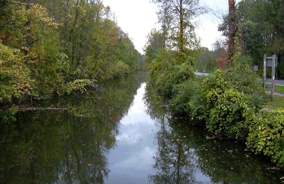
| The Enlarged Erie Canal at the Mills Road and NY Route 46 parking area, looking west. The canal path switches from the north side (on the west) to the south side (on the east) at Mills Road. | The Enlarged Erie Canal at Senn Road and
NY Route 46 -- Left: looking east ; Right: looking west. | |
 |
||
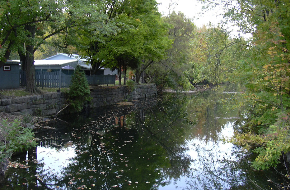
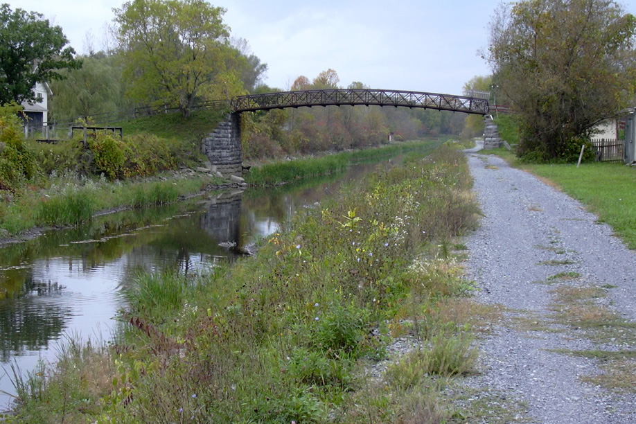
| The Enlarged Erie Canal at the Erie Canal Village, just west of Rome, looking west. | ||
http://www.eriecanal.org/LongLevel.html