
Home | Canal System | Historical Documents | 175th Anniversary | Images | Maps | Tour | Traces | Locks | Boats | Books and Videos | Music | Links

The Limestone Creek Aqueduct is located in the Old Erie Canal State Historic Park near the Village of Fayetteville, Onondaga County. The aqueduct was built as part of the Enlarged Erie Canal across Limestone Creek, and was completed in 1856. The aqueduct is 79 feet 10 inches long and has three spans. The original wooden trunk of the aqueduct, which had succumbed to the ravages of time, has been replaced by a narrow concrete channel.
Below are pictures of the Limestone Creek Aqueduct taken in September 2007. Click on an image below to see the full-size version.
 |
 |
||
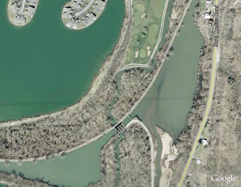
| Google Earth views of the aqueduct and the surrounding area. | |||
 |
 |
| |
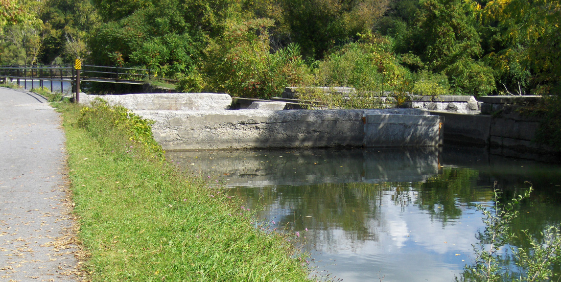
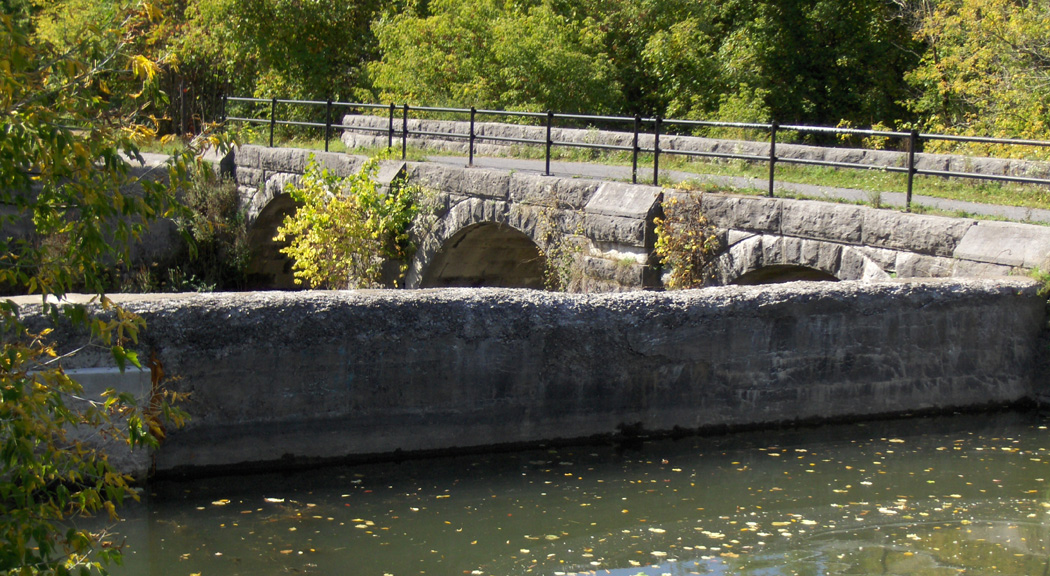
| Views of the aqueduct, seen from the
towpath. Left: looking east ; Right: looking west. The concrete barriers are dams, keeping the water in the canal. Water flows from one side of the canal to the other through a narrow channel, seen in the pictures below right. |
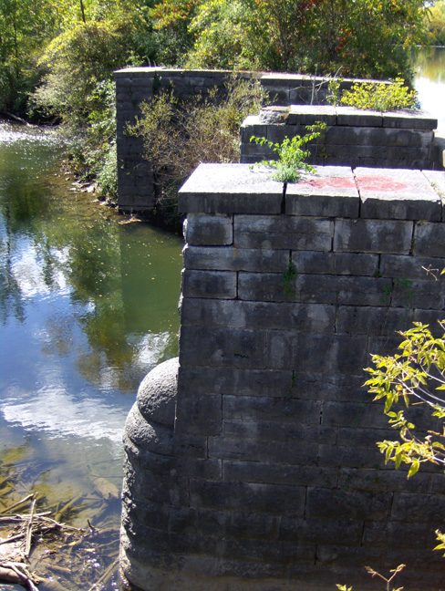
The upstream supports of the aqueduct's trunk, looking west, with the western buttress wall in the background. | ||
 |
 |
 | |
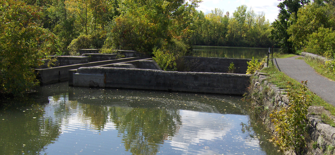
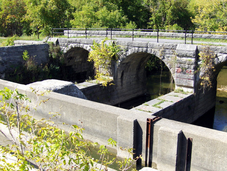
| Looking northwest at the arches which
support the towpath. In the left picture, the eastern concrete dam is in the foreground. In the right picture, the modern narrow concrete channel which carries the canal water across Limestone Creek is in the foreground. |
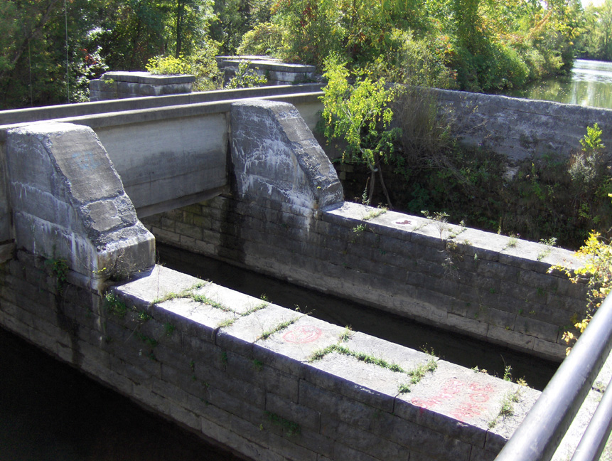
Looking southwest at the prism trunk supports. Note the modern narrow concrete channel to the left and the concrete buttresses which have been built on top of the trunk supports to support the channel wall. | ||
 |
 |
 |
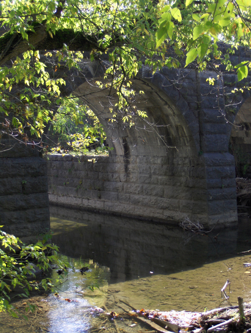 |
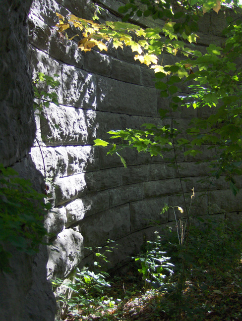
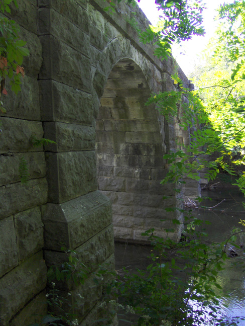
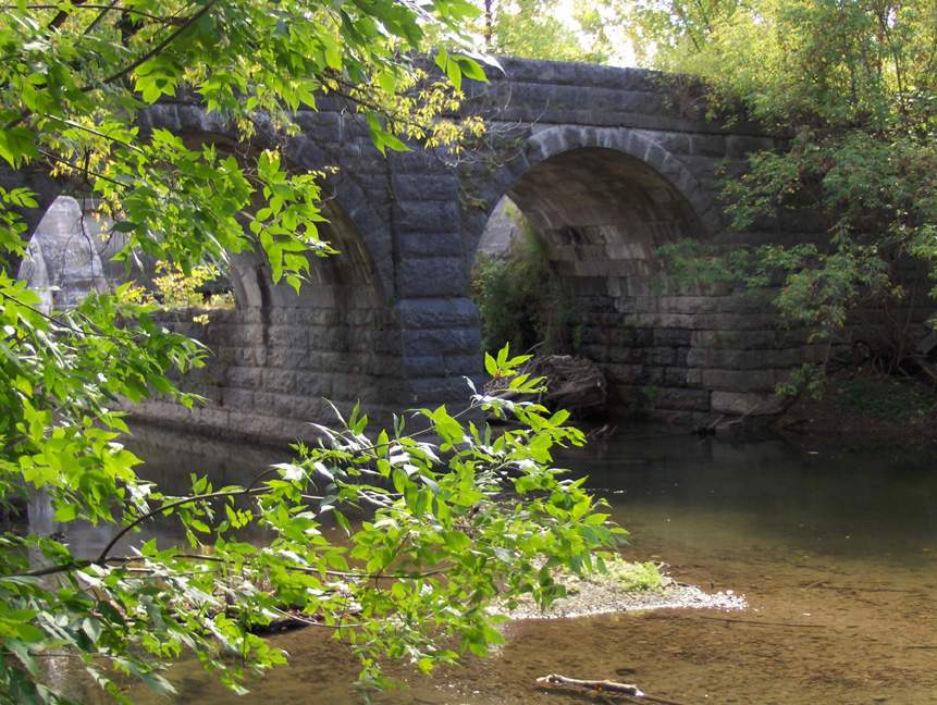
| The northeast buttress wall, seen from the stream level. | Looking west at the arches of the towpath from the stream level. | The north (towpath) side, looking south from the stream level. | Looking south at the easternmost arch from the stream level. |
http://www.eriecanal.org/LimestoneCreek.html