
Home | Canal System | Historical Documents | 175th Anniversary | Images | Maps | Tour | Traces | Locks | Boats | Books and Videos | Music | Links

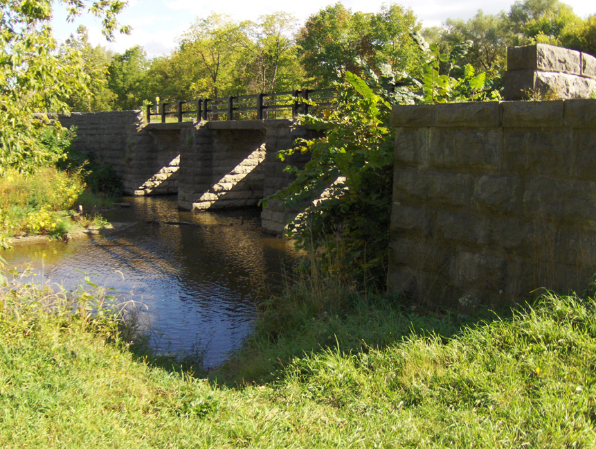
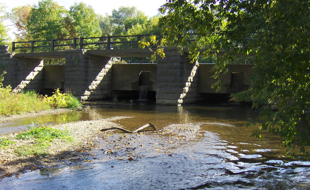
The Chittenango Creek Aqueduct is located within the Old Erie Canal State Historic Park approximately a half mile west of the Chittenango Landing Canal Boat Museum, just north of the Village of Chittenango. The aqueduct was built as part of the Enlarged Erie Canal, and was completed in 1856. It crosses Chittenango Creek with 3 spans, and is 76 feet in length. The original wooden trunk of the aqueduct, which had succumbed to the ravages of time, was replaced by a concrete one when the Old Erie Canal State Historic Park was created, as was the towpath.
For more information on the Chittenango Landing Canal Boat Museum, see the Chittenango Landing Canal Boat Museum Page, and the Chittenango Landing Canal Boat Museum web site.
Below are pictures of the Chittenango Creek Aqueduct taken in September 2007, click on an image below to see the full-size version.
 |
 |
 |
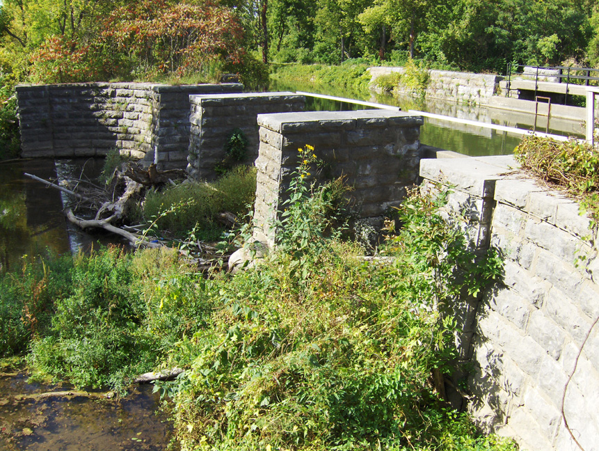
| The south side of the aqueduct, looking west -- the towpath is on the far side in the upper right background. | The water-holding trough or trunk of the aqueduct, looking southeast from the towpath. | |
 |
 |
 |
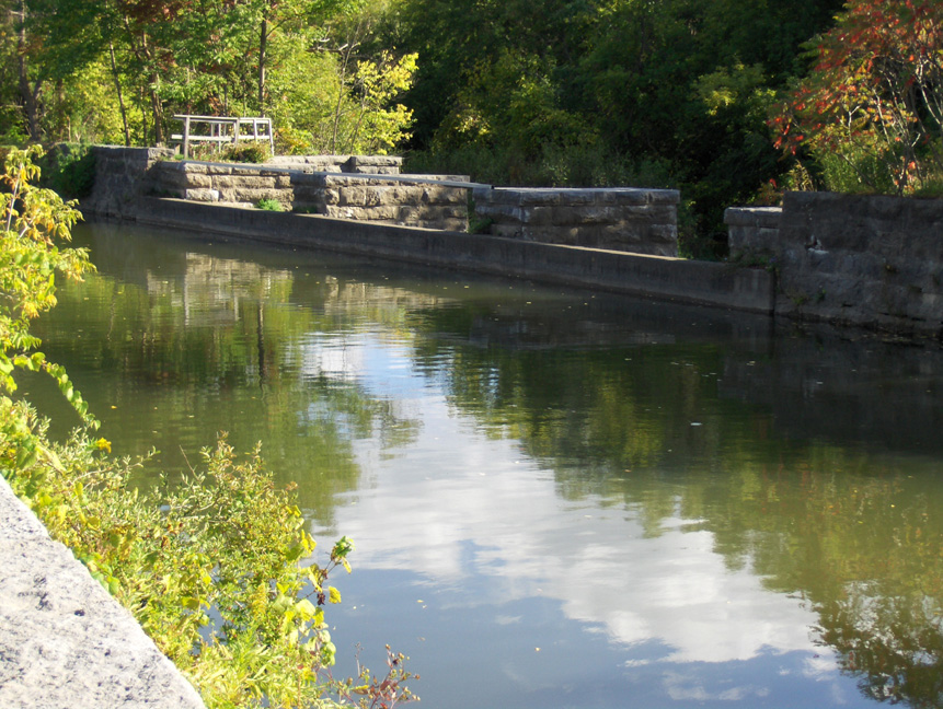
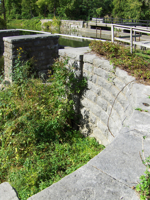
| The south side of the aqueduct, looking northwest -- the towpath is in the background. | The north (towpath) side, looking southwest. Unlike many aqueducts, the Chittenango Creek Aqueduct used piers to support the towpath, rather than arches. | |
 |
 |
 |
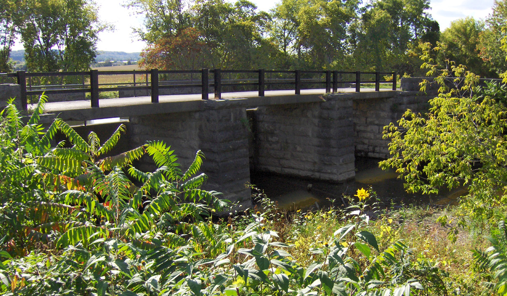
| The north (towpath) side, looking southeast from below the towpath. | The north (towpath) side, looking southeast from stream
level. The new concrete trunk can be seen between the piers. | |
http://www.eriecanal.org/ChittenangoCreek.html